Yesterday I went on a little adventure out in the California desert. I was equipped with a Baofeng UV-5R and a cell phone loaded with APRS.fi software. Our first destination was the Hole-in-the -Wall Rings Trail. Shortly after exiting the 40 highway, I lost cell service,
I finally did it! I captured this image from the International Space Station using a Yaesu FT-60 radio with a Diamond SRH77CA whip antenna. I used SSTV for iOS to decode and save the captured audio.
When I first heard about APRS, I had hoped I could use it to replace tracking I already get from my SPOT device. I began my learning curve by testing several APRS apps.
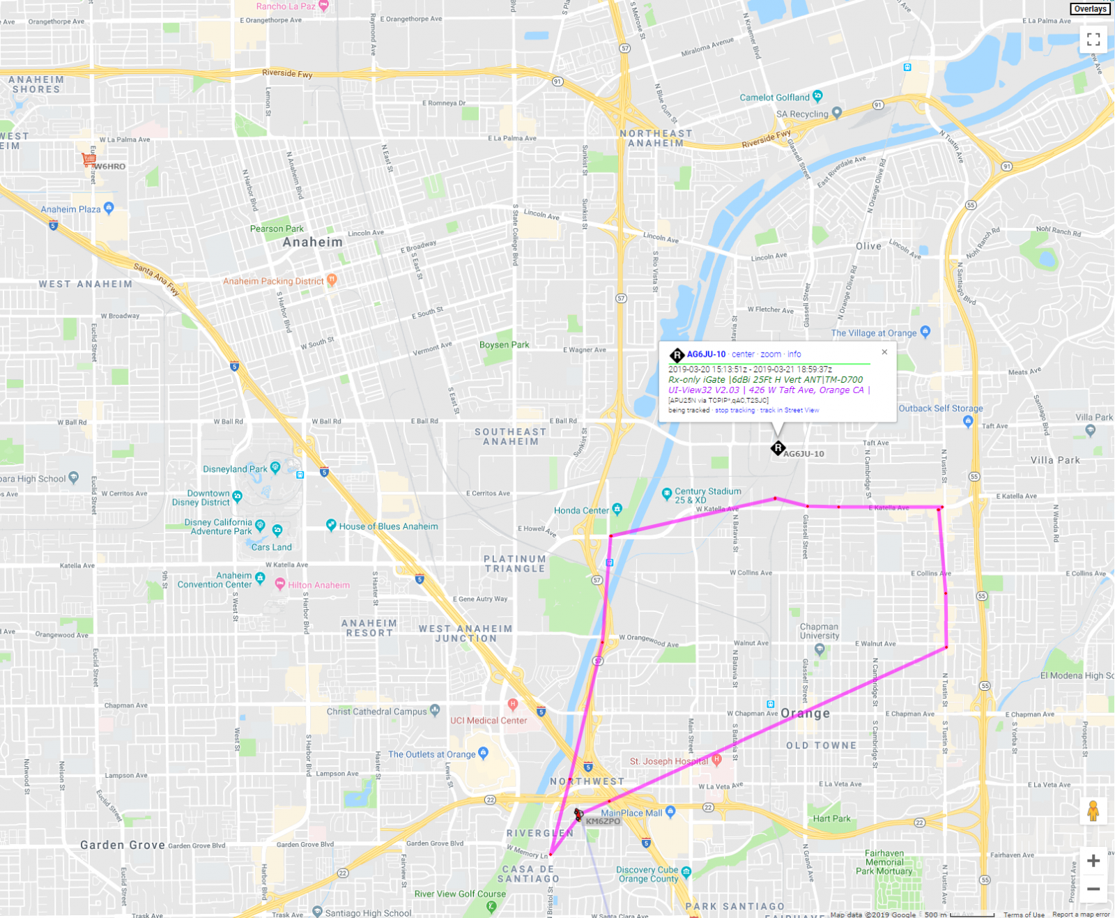
Yesterday I put APRS-IS to the test in the mountains on the San Juan Trail, located a few miles way from Ortega Highway 74. In this area there are no digipeaters close enough for RF transmissions, so I tested the SPRINT cellular network to see if I could be tracked in real time (KM6ZPO).
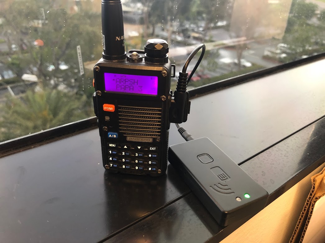
After several months of trying to figure out how to use a Baofeng as a TNC for things like APRS tracking, I finally found a method that works.
Recently I’ve been thinking about setting up a field kit for the Areden Mesh Network. I’ve seen plenty of people able to setup their nodes at their homes, so I know it’s possible. Setting something up for very portable field use was my challenge.
